 Asset Publisher
LOCATION
 Położenie, fot. Darek Czernek
 Położenie, fot. Mariusz Grondys
 Położenie, fot. Mariusz Grondys
 Położenie, fot. Mariusz Grondys
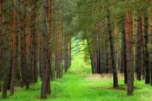
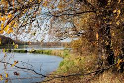
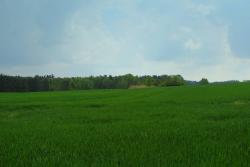
The Sulechów Forest District is situated in the central-eastern part of Lubuskie Province, around Sulechów, between Radnica, Kalsk, Konotop and Bojadła. Located entirely in the area of reception basin of the Oder (Odra). The line of the river is the southern border of the Forest District The tributaries of the Oder on the right bank drain the areas of the district. There are many interesting nature-, landscape- and tourism-wise meander cutoffs.
The overall area of the Forest District is 25,355.88 hectares. The area is divided into three Sub-districts:
- Klenica (8,028.2922 ha)
- Nietkowice (8,548.8739 ha)
- Sulechów (8,778.7161 ha)
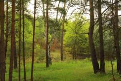
Diverse landscape and varied lay of the land are a result of the glacial activity of the Vistulian glaciation.
- The eastern part of the Forest District is a wide plain. Its absolute altitude is between 53 and 60 m above sea level. A terminal moraine is a characteristic element in the area. It runs from Łęgowo, through Podlegórz, Radowice, Górzykowo and Cigacice, to Górki Małe.
- The highest elevation is situated in the area of the Trzebiechów Forest Ranger Area in the vicinity of area 171. Its absolute altitude is 148.4 m above sea level.
- The lowest point, at the level of 42.9 m above sea level, is located in Będów Forest Ranger Area, west of the Słodkie Lake.
The soils of the forest district largely consist of loose, permeable sands. The low share of moist habitats, especially moist coniferous forests, stems from the low groundwater level.
The climatic conditions in the forest district are not conducive to forest management. Long rainless periods and low values of precipitation during the vegetative season are detrimental to the growth of newly planted crops. Such conditions also cause a high fire hazard in the forests. Local damages are also brought by winds and spring frosts.